GENTES, COSTUMBRES, TRADICIONES, HISTORIAS, FOLCLORE, PATRIMONIOS Y PAISAJES DE LA PROVINCIA DE CASTELLÓN:
EN HOMENAJE A MI TIERRA Y A MI PAÍS....
Por: JUAN E. PRADES BEL, autor de los proyectos: "Crónicas históricas"; "Recordar también es vivir"; "Historias del Mar"; “Espigolant cultura: taller de historia, memorias, crónicas, patrimonios y humanidades"; y otras historias.
"HISTORIAS
DEL MAR: EL CAÑÓN SUBMARINO DE “TORREBLANCA CANYON”.
Escribe:
JUAN EMILIO PRADES BEL.
-
La población de Torreblanca (Castellón) lleva este su nombre, hasta el fondo
del mar y a gran profundidad, como topónimo y nombre de un cañón submarino del interior
del Golfo de Valencia denominado “Torreblanca Canyon”, nombre adjudicado por la
Agencia Nacional de Inteligencia-Geoespacial, se trata de una formación
geologica sumergida que se encuentra frente a la costa de Torreblanca a la
parte Este de las Islas Columbretes.
-
“Torreblanca Canyon” es un cañón submarino estrecho de aproximadamente unos 15 km. de
largo en la parte más abrupta, situado desde el borde de la
plataforma continental ibérica y mesopelágica, hasta el talud de caída a la
zona batial. El origen del mismo es desconocido, pero pudo formarse por la
erosión de algún río arcaico, cuando el nivel del mar era más bajo, el mar Mediterráneo
hace unos 5 millones de años quedo cerrado en el Estrecho de Gibraltar y
durante aproximadamente unos 600.000 años fue un mar cerrado y se deseco casi
por completo. A pesar, de ser este cañón un accidente geográfico totalmente
sumergido, la erosión del mismo continua por medio de las corrientes llamadas de
turbidez que desde la plataforma continental (menos de 200 m. de profundidad)
caen hacia la zona batial (más de 1000 metros de profundidad).
La información geográfica y datos de
“Torreblanca Canyon” han sido suministrados en formato electrónico por la
inteligencia militar de EE.UU y por la Agencia Nacional de
Inteligencia-Geoespacial (National Geospatial-Intelligence Agency, NGA).
Información geográfica del cañón submarino
“Torreblanca Canyon” facilitada por la agencia “National Geospatial-Intelligence
Agency (NGA): Cañón estrecho bajo el mar confinado a la pendiente; bajo la
superficie del mar; Latitud: 40.2166667 ; Longitud: 1.35 ; UFI: -155820 ; UNI:
-242380 ; UTM: CE55 ; JOG: NK31-10.
Nombre Completo (véase la definición):
TORREBLANCA CANYON
Código Primario de País (véase la
definición): UF
Código de división administrativa de
primer orden (véase la definición): 00 (Lugares submarinos (general)
Código Fuente de Región (véase la
definición RC ): 1 (Las
Américas/Europa Occidental)
Identificador Único de Lugar (véase la
definición UFI): -155820
Identificador Único de Nombre (véase
la definición UNI): -242380
Latitud en grados decimales (véase la
definición LAT): 40.216667
Longitud en grados decimales (véase la
definición LONG): 1.35
Latitud en grados, minutos y segundos
(véase la definición DMS-LAT): 40° 13' 00" N
Longitud en grados, minutos y segundos
(véase la definición DMS-LONG): 12° 21' 00" E
Coordenadas Cartográficas Militares
(véase la definición MGRS): 31TCE5959953111
Referencia de Gráfica de Operaciones
Conjuntas (véase la definición JOG): NK31-10
Clasificación del Lugar : U (Lugar
submarino)
Código de Designación del Lugar : CNYU
(cañón)
Clasificación del Lugar Poblado: No
data
Código de la división administrativa
de segundo orden : No data
Cifras de Población (véase la
definición POP): No data
Elevación : No data
Código Secundario del País : No data
Tipo de Nombre : N (Nombre del
estándar BGN)
Código del Idioma: No data
Substituto del nombre completo: No
data
Parte descriptiva del nombre completo
: No data
Forma del nombre para índice
toponímico Gazetteer: “TORREBLANCA CANYON”.
Nombre Completo con caracteres del
teclado QWERTY (véase la definición FULL NAME ND): “TORREBLANCA CANYON”.
Fecha de modificación (véase la
definición MODIFY DATE): 2003-03-21
DEFINICIONES Y CODIGOS:
–
GIS: Compatible Output
Format
Field Name Field Description Field Type Default Selection
- RC: Region Font Code. A code that
determines the character mapping used in the SHORT_FORM, Generic, and Full_Name
fields (see Character Set Conversion Table [Char_Sets_20060703.pdf],:1 =
Americas/Western Europe; 2 = Eastern Europe; 3 = Africa/Middle East; 4 =
Russia/ Central Asia; 5 = Asia/Pacific; 6 = Vietnam.
- UFI: Unique Feature Identifier. A
number which uniquely identifies a Geoname feature.
- UNI: Unique Name Identifier. A
number which uniquely identifies a name.
- LAT: Latitude of the Geoname
feature in ± decimal degrees; DD; (± dd.dd...): no sign (+) = North;
05°03'09''E » 5.0525 negative sign (-) = South; 05°03'09''S » -5.0525.
- LONG: Longitude of the feature in
± decimal degrees; DD; (± dd.dd...): no sign (+) = East; negative sign (-) =
West.
DMS- LAT: Latitude of the Geoname
feature in ±degrees, minutes, and seconds; DMS; (±ddmmss): no sign (+) = North;
negative sign (-) = South. number Y
DMS- LONG: Longitude of the Geoname
feature in ±degrees, minutes, and seconds; DMS; (±dddmmss) :no sign (+) = East;
negative sign (-) = West.number Y.
MGRS: Military Grid Reference System
coordinates character Y
JOG: Joint Operations Graphic
reference. These maps are based on the format of standard 1:250,000
medium-scale military topographic maps, but they contain additional information
needed in joint air-ground operations. Along the north and east edges of the
graphic, detail is extended beyond the standard map sheet to provide overlap
with adjacent sheets. These maps are produced both in ground and air formats.
Each version is identified in the lower margin as either Joint Operations
Graphic (Air) or Joint Operations Graphic (Ground). The topographic information
is identical on both, but the ground version shows elevations and contour in
meters and the air version shows them in feet. Layer (elevation) tinting and
relief shading are added as an aid to interpolating relief. Both versions
emphasize airlanding facilities (shown in purple), but the air version has
additional symbols to identify aids and obstructions to air navigation.
character Y
FC: Feature Classification: Nine (9)
major Geoname feature categories into which similar feature designations are
grouped.
A = Administrative region type feature
P = Populated place type feature
V = Vegetation type feature
L = Locality or area type feature
U = Undersea type feature
R = Streets, highways, roads, or railroad type feature
T = Hypsographic type feature
H = Hydrographic type feature
S = Spot type feature
character Y
DSG : Feature Designation Code. A
two to five-character code used to identify the type of Geoname feature a name
is applied to.
(see more at Feature Designation Code Help) character Y
PC: Populated Place Classification.
A graduated numerical scale denoting the relative importance of a populated
place. The scale ranges from 1, relatively high, to 5, relatively low. The
scale could also include NULL (no value) as a value for populated places with
unknown or undetermined classification. number Y
CC1: Primary Country Code. A two
alphabetic character code uniquely identifying a geopolitical entity
(countries, dependencies, and areas of special sovereignty). character Y
ADM1: First-order administrative
division code. A two alpha-numeric code from the FIPS 10-4 Standard describing
a primary administrative division of a geopolitical entity, such as a state in
the United States. character Y
ADM2: Second-order administrative
division. The name of a subdivision of a first-order administrative division,
such as a county in the United States. variable character Y
DIM: Dimension: Holds
Population/Elevation Figures. If the Feature Classification is "P",
Populated place type feature, then the value is Population Figures. For all
others, the value is Elevation number N
POP: Population Figures. number Y
ELEV: Elevations (in meters, decimal
values accepted). number Y
CC2: Secondary Country Code. A two
alphabetic character code from the FIPS 10-4 Standard uniquely identifying the
country code of a particular Geoname feature name if different than that of the
primary country code of that Geoname feature (International features).
character Y
NT: Name Type:
C = Conventional name
N = BGN** Standard name
NS = BGN** Standard name in non-Roman script
P = Provisional name
PS = Provisional name in non-Roman script
H = Historic name
HS = Historic name in non-Roman script
D = Not verified or daggered name
DS = Not verified name in non-Roman script
V = Variant or alternate name
VS = Variant name in non-Roman script
. . .** BGN = U.S. Board on Geographic Names. Character Y
LC: Language Code. A three
alphabetic character code (ISO 639-3) uniquely identifying the language
assigned to a Geoname feature name. character Y
SHORT FORM: A part of the full name
that could substitute for the full name. variable character Y
GENERIC: The descriptive part of the
full name such as Mount, River, or Sea (generally does not apply to populated
place names). variable character Y
SORT NAME; A form of the full name
that allows for alphabetical sorting of the file into gazetteer sequence. All
character/diacritic combinations and special characters are substituted with
QWERTY (visible U.S. English keyboard) characters, all characters are
upper-cased, numerals are converted to lower-case characters (0-9 = a-j),
spaces are stripped out, and commas replaced with space. The substitution is
done according to a character mapping table that is Region Font Code specific (see
Character Set Conversion Table [Char_Sets_20060703.pdf]. This field is included
for the benefit of the end user of the data to aid in the sorting of names if
required. variable character Y
FULL NAME: The full name is the
complete name that identifies a named feature. The full name is output in
reading order, "Mount Everest", vs. reversed generic, "Everest,
Mount", as stored in the database. variable character Y
FULL NAME ND: Same as the full name
but the character/diacritic combinations and special characters are substituted
with QWERTY (visible U.S. English keyboard) characters while still maintaining
casing and spaces. The substitution is done according to a character mapping
table that is Region Font Code specific (see Character Set Conversion Table [Char_Sets_20060703.pdf].
ND = No Diacritics / Stripped Diacritics. variable character Y
MODIFY DATE: The date a new feature
was added or any part of an existing feature was modified (YYYY-MM-DD).
date-time N.
- Para información con respecto a “Torreblanca Canyon” deberán dirigirse a la National Geospatial-Intelligence Agency.
-
LOS CAÑONES SUBMARINOS (DEFINICIÓN):
Son valles profundos abiertos en la plataforma y el talud continental, que
discurren desde el borde continental hasta el medio marino profundo. Los
cañones submarinos se hallan en las plataformas continentales de todo el mundo,
especialmente como prolongación de las desembocaduras de grandes ríos y de
otros cursos pretéritos. Los cañones se abren paso a través de la plataforma y
el talud continental hasta llegar a la llanura abisal. La erosión, continúa
actuando y erosionando los cañones sumergidos de los bordes continentales por
medio de las corrientes de turbidez, se trata de unas masas de limo y de arena
agitadas por turbulencias que se revuelven como un líquido pesado. Estas masas
entran en el cañón por cañones secundarios y bajan rodando para redistribuir la
arena y el limo sobre el fondo de las llanuras abisales.
-
LA NATIONAL GEOSPATIAL-INTELLIGENCE AGENCY (NGA): Es una agencia de apoyo en combate,
bajo la dirección del Departamento de Defensa de Estados Unidos, como una
agencia de inteligencia de la Comunidad de Inteligencia de Estados Unidos en
una labor de apoyo a la seguridad nacional, con el objetivo principal de
recolectar, analizar y distribuir datos de inteligencia geoespacial (GEOINT).
-
TORREBLANCA: Es un
municipio de la Comunidad Valenciana, España. Situado junto al Mediterráneo en
la costa de la provincia de Castellón, en la comarca de la Plana Alta, entre
los municipios de Cabanes, Benllóc y Alcalá de Xivert. Cuenta con 5.419
habitantes (Año 2017). El cañón submarino tiene una orientación Este-Oeste y se
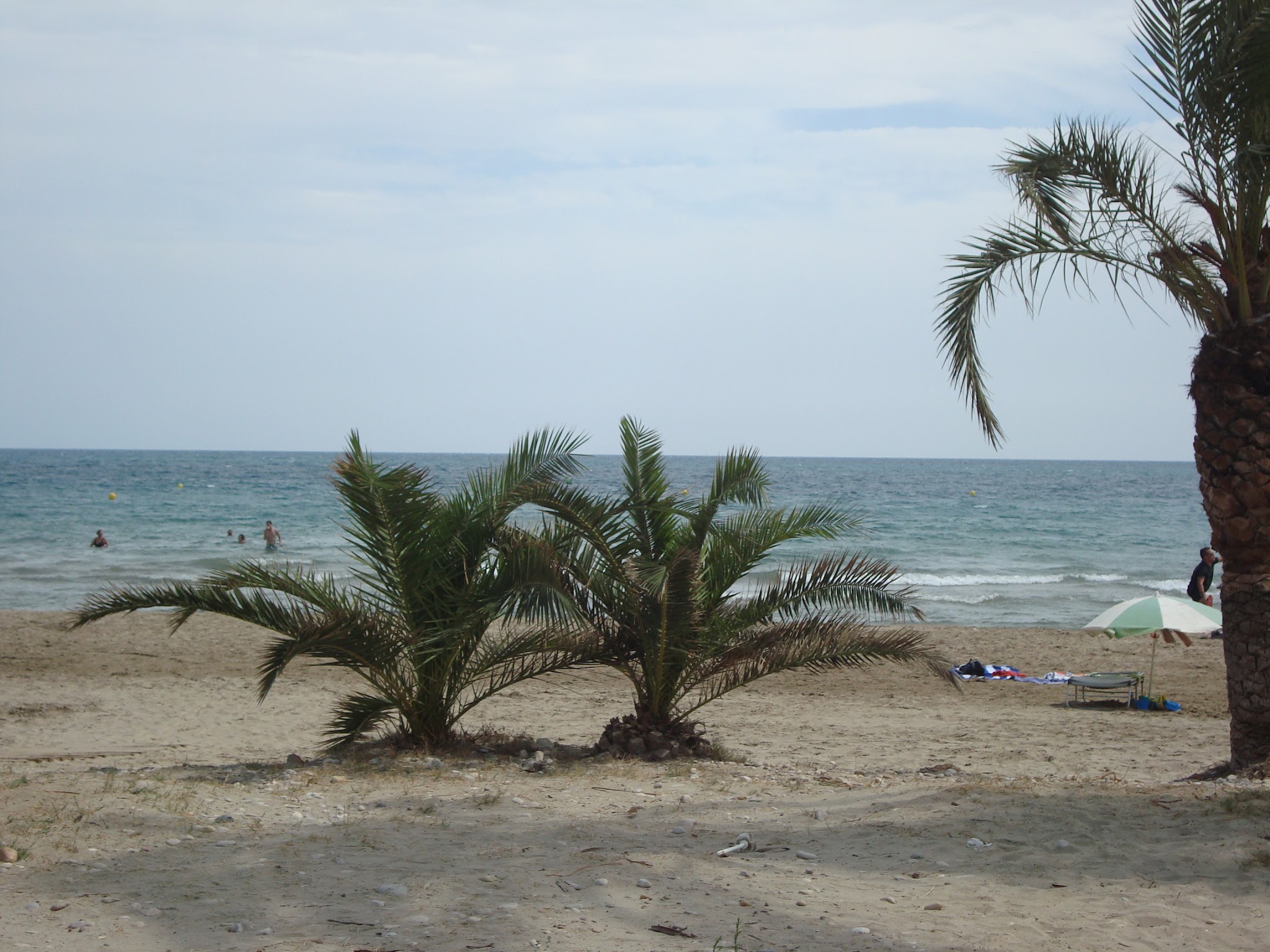
encuentra en altamar. Desde la población de Torreblanca o la playa de
Torrenostra se puede posicionar la ubicación aproximada del cañón submarino
dirigiendo la mirada hacia el Este bajo el arco de salida del sol se encuentra “Torreblanca
Canyon”, un topónimo muy propio de esta población castellonense, tan cercana a este
abismo geográfico, al que los locales deberían dedicarle una calle o plaza (Torreblanca Canyon)en
la zona de la marina de Torrenostra, como reconocimiento y conocimiento de un
lugar tan inaccesible, como lleno de enigmáticas maravillas, criaturas abisales
y otros misterios ocultos que se guardan en las profundidades batiales.
-
DERECHO DEL MAR: La
plataforma continental de un Estado ribereño comprende el lecho y el subsuelo
de las áreas submarinas que se extienden más allá de su mar territorial y a
todo lo largo de la prolongación natural de su territorio hasta el borde
exterior del margen continental, o bien hasta una distancia de 200 millas
marinas contadas desde las líneas de base a partir de las cuales se mide la
anchura del mar territorial, en los casos en que el borde exterior del margen
continental no llegue a esa distancia.
Artículo 76.1 f de la Convención sobre el Derecho del Mar (1982).
Textos:
Juan E. Prades Bel, 2017.
BIBLIOGRAFIA,
FUENTES:
-National
Geospatial-Intelligence Agency (NGA)
http://www.geografiainfo.es
242380&fid=6437&c=undersea_features.
- Instituto Español de Oceanografía (IEO)
MAR Balear: Mapa topobatimétrico del Mar
Balear y Golfo de Valencia / Ministerio de Educación y Ciencia, Instituto
Español de Oceanografía .-- 1:500.000; Proyec. UTM Huso 31 N .―Madrid:
Instituto Español de Oceanografía, 2005ISBN: 84-95877-29-5.
-
Maurizio Würtz: Mediterranean submarine canyons: ecology and governance
- TOWARDS A MEDITERRANEAN CANYON INVENTORY: PROMETEOS
Project (Protection of the Mediterranean open seas: Contributing to the
establishment of marine protected areas over offshore seamounts and submarine
canyons). Maurizio Würtz (scientific
coordinator). information to support the objectives of the Regional Workshop to
Facilitate the Description of Ecologically or Biologically Significant Marine
Areas (EBSAs), 7 to 11 April 2014, Málaga, Spain.
https://www.google.es
https://es.wikipedia.org/
http://www.geographic.org/geographic.


Que maravilla, que misterio, que vertiginoso.
ResponderEliminar